Kwando River
Kwando River
A 731 km river flowing through four countries, the Kwando shapes the ecosystem of the Caprivi Strip and borders three major Namibian national parks.
The Cuando River, also spelled "Kwando" in Namibia, is a watercourse in southern Africa that flows through four countries: Angola, Zambia, Namibia, and Botswana. Over its 731 km journey, it changes names several times — Mashi, Linyanti, Chobe — and structures the entire ecosystem of the Caprivi Strip, that narrow northeastern corridor of Namibia nicknamed "Namibia's outstretched finger." Its marshy banks concentrate dense wildlife and three national parks, making it one of the country's most biologically rich zones.
Why visit the Kwando River
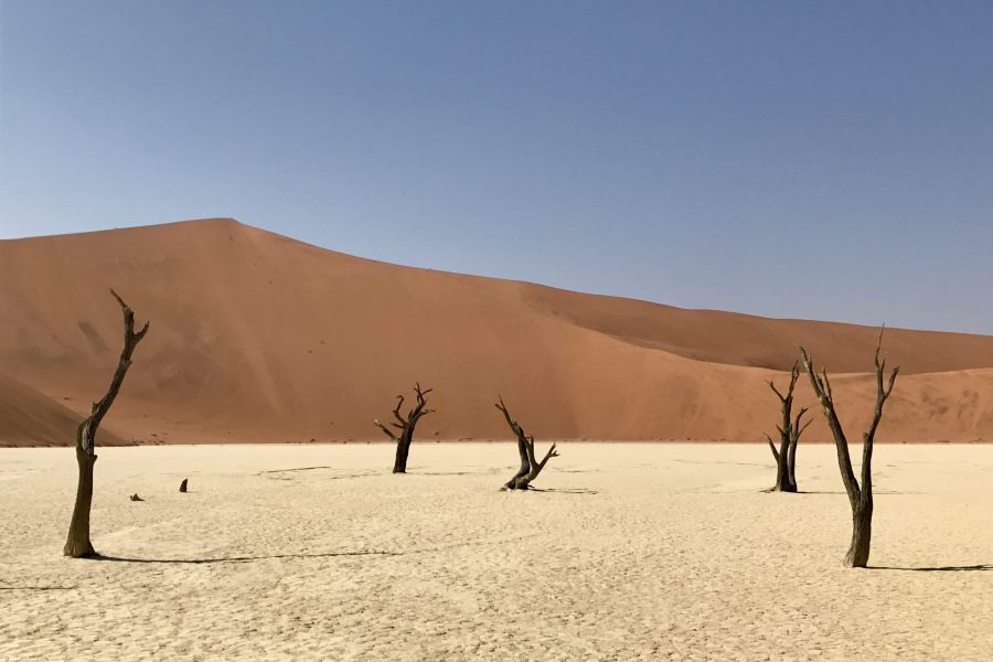
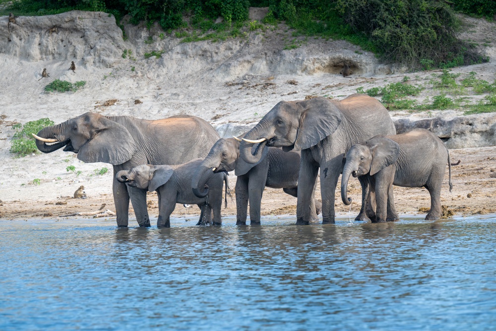
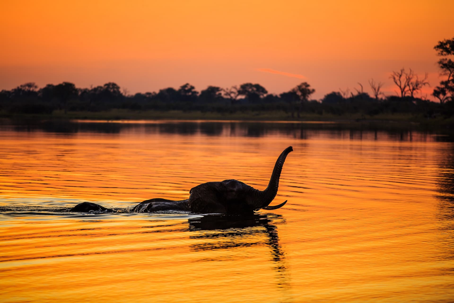
The Kwando offers a face of Namibia radically different from the Namib dunes or Etosha plateaus. Here, water is everywhere: marshes, lagoons, seasonal floodplains. This hydrological feature attracts elephants, hippopotamuses, crocodiles, buffalo, lions, and particularly varied birdlife.
Three reasons justify a detour to this region:
- High faunal concentration, notably elephants, in an area still less frequented compared to major southern African parks.
- A hybrid landscape between shrub savanna, riverine forests, and reed wetlands, rare in Namibia.
- The possibility of combining land safaris and river navigation, an uncommon experience in the country.
Geography of the waterway
The river originates on Angola's central plateau and flows southeastward. It then marks a 225 km border with Zambia, then traverses a marshy channel 5 to 10 km wide before reaching Namibia's Caprivi Strip. At this stage, it spreads across the Linyanti marshes, bends eastward bordering Botswana, flows through the seasonal Lake Liambesi — where it takes the name Chobe downstream — before emptying into the Zambezi. Its drainage basin covers approximately 96,000 km².
What to see and do along the Kwando
Mudumu National Park
Stretching along Namibia's Kwando bank, Mudumu is a park dominated by savanna and riverine forests. Elephants are by far the dominant large fauna, but you'll also spot lions, buffalo, leopards, giraffes, and several antelope species. The banks and channels harbor crocodiles, otters, and hippopotamuses. It's the most accessible park in the area and a good entry point for discovering the river's ecosystem.
Nkasa Rupara National Park
Located west of the river, Nkasa Rupara is one of Namibia's wettest parks. During high-water periods, much of its territory is submerged and only two large wooded islands emerge: Nkasa and Lupala. This little-visited wetland concentrates remarkable birdlife and all water-dependent species. The park has remained quite wild and requires suitable vehicles.
Bwabwata National Park
Further northwest, Bwabwata encompasses the Susuwe triangle, a sector renowned for faunal diversity. Horseshoe Lagoon, shaped like a horseshoe, serves as a gathering point for elephants in the dry season. The park also plays a corridor role for migration between Angola, Botswana, and Zambia.
When to go
The Kwando's hydrological rhythm shapes the visiting experience. Water levels generally rise in May, followed by a decrease in June. Two distinct periods emerge:
- Dry season (May to October): animals concentrated around water points, easier observation, pleasant temperatures. This is the most popular period.
- Wet season (November to April): green landscapes, young animals born, migratory birds present, but access sometimes difficult and fauna more dispersed. Often reduced rates and lighter crowds.
Practical information
- Type of visit: 4x4 safaris, river navigation, bird watching.
- Accommodation: lodges and camps distributed along the river and around the parks. Booking recommended in high season.
- Equipment: binoculars, neutral clothing, insect repellent, antimalarial treatment recommended.
- Recommended duration: plan for 3 to 5 days to explore the area and combine several parks.
How to get there
The Caprivi Strip is accessible by road from Windhoek via the B1 then B8, heading toward Rundu and Katima Mulilo. Plan for approximately two days of driving from the capital. Domestic flights connect Windhoek to Katima Mulilo, the main entry point for the area. Most lodges arrange transfers from the airport or the nearest tracks. A 4x4 vehicle is essential for accessing the parks, particularly Nkasa Rupara.
Nearby
The region lends itself well to an expanded itinerary toward other Namibian reserves and neighboring countries:
- Mahango Game Reserve, to the west, on the Okavango River.
- Khaudum, a remote park between Caprivi and the Kalahari.
- Chobe National Park, the natural extension of the ecosystem on the Botswana side.
Frequently asked questions
Frequently asked questions
The river changes names depending on the countries and zones it traverses: Cuando in Angola, Kwando or Mashi in Namibia, Linyanti in the border marshes, then Chobe after Lake Liambesi. It's the same 731 km waterway overall.
The dry season, from May to October, is most favorable. Animals concentrate near the river and less dense vegetation facilitates observation.
The parks allow self-drive access for Mudumu and Bwabwata, but Nkasa Rupara requires a 4x4 and solid experience. A local guide is strongly recommended for safety and observation quality.
Elephants in large numbers, hippopotamuses, crocodiles, lions, buffalo, leopards, giraffes, antelope species, otters, plus rich birdlife especially in the Linyanti marshes and Horseshoe Lagoon.
Three to five days allow you to combine two or three parks and enjoy both land safaris and river navigation.
Plan your trip
The Kwando River and Caprivi Strip deserve a place in any in-depth Namibian itinerary, complementing major desert sites. To build a customized circuit incorporating this region, check out our Namibia trips.
Interested in this visit?
We can include it in your personalised itinerary.