Brandberg Massif
Brandberg Massif
Namibia's rooftop at 2,573 m, Brandberg unites the White Lady rock painting, desert elephants and San spiritual heritage.
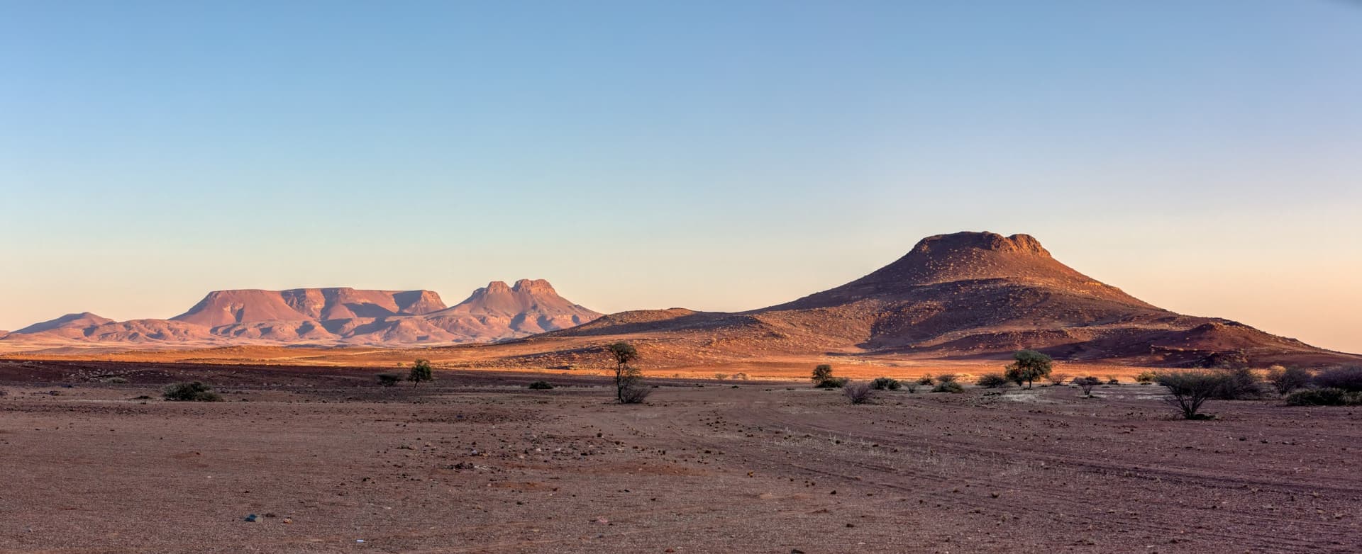
The Brandberg massif is Namibia's highest mountain range. Located in the former Damaraland, now known as Erongo, northwest of the Namib Desert, it covers an area of approximately 650 km². Its highest point, Königstein ("Kings stone"), rises to 2,573 m above sea level and constitutes the country's rooftop. Brandberg means "mountain of fire", evoking the red light its walls take on at sunset. For the Damara people, it is Brandberg Daures, the "burning mountain"; for the Herero, it becomes Omukaruvaro, the "mountain of the gods".
Why visit Brandberg Massif
Brandberg combines several rare interests within a single area: a major rock art site in southern Africa, surprisingly rich desert biodiversity and granite relief dominating the Damaraland plain.
- The White Lady, famous rock painting, accessible after approximately 40 minutes of hiking in the Tsisab ravine.
- Over 1,000 rock shelters and a collection of rock paintings considered one of the continent's densest.
- Desert elephants and black rhinoceros adapted to aridity, observable in the ephemeral rivers surrounding the massif.
- Unique entomological fauna: a new insect order, mantophasmatodea, was described on Brandberg in 2002.
History and Cultural Significance
Brandberg is a spiritual site of the San (Bushmen), a hunter-gatherer people of southern Africa. The massif's walls and shelters preserve a considerable collection of rock paintings: the Tsisab ravine alone contains over 1,000 rock shelters and an estimated number of painted figures reaching several tens of thousands (with 45,000 often cited). Dating remains debated: once presented as very ancient, they are now generally estimated between 2,000 and 6,000 years old according to recent scientific analyses.
The White Lady, identified and popularized by Abbé Henri Breuil in the mid-20th century, is the site's emblematic figure. She is depicted covered with ritual paintings from her feet to her chest, one hand holding an unidentified object, the other an bow and arrows. She occupies the center of a hunting procession scene where a woman appears having pierced an oryx. The interpretation now retained is no longer that of a European "lady" but of a shaman adorned with signs of a sorcerer-healer, linked to the trance rituals practiced by the San.
What to See and Do On-Site
Tsisab Ravine and the White Lady
The most popular access to the site is the Ga'aseb trail, which follows the valley floor of the ephemeral river. Allow approximately 40 minutes of hiking to reach the White Lady shelter, on rocky terrain along former watercourses. An accredited local guide is mandatory to reach the site.
Climbs and Hikes
The complete ascent of Königstein is a demanding multi-day trek, reserved for experienced hikers with a guide. Most visitors settle for approach trails and viewpoints over the plain, which are more accessible.
Desert Fauna and Flora
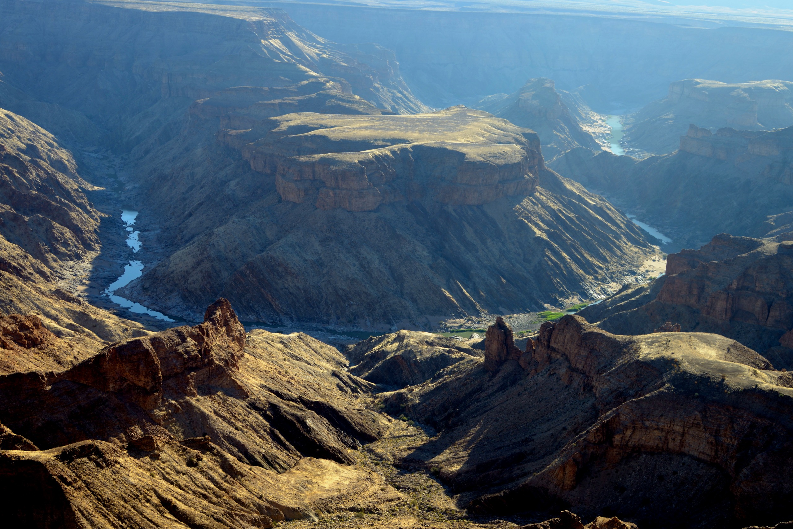
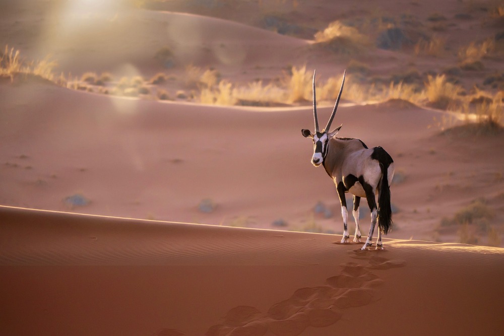
The massif is surrounded by an arid zone with summer temperatures exceeding 40°C. Vegetation is marked by aloes and euphorbias, species adapted to dryness. On the fauna side, ephemeral rivers periodically shelter desert elephants and black rhinoceros. Rock dwellers include hyraxes and civets, while springboks and antelopes populate the plain. Entomology enthusiasts will note the presence of the endemic scorpion Brandbergia haringtoni and insects found nowhere else on earth.
When to Go
The dry season, from May to September, remains the most comfortable: warm days but manageable, cool nights, wildlife more visible at watering holes. From October onwards, temperatures climb significantly and hiking becomes arduous. The months of December to March can experience localized storms and midday heat is extreme. For the hike to the White Lady, favor early morning.
Practical Information
- Site access: paid entrance at the foot of Tsisab ravine, moderate rate, local guide mandatory.
- Equipment: closed hiking shoes, hat, 2 liters of water per person minimum, sunscreen.
- Accommodation: an equipped campground is located at the massif's edge; a few lodges exist nearby in the Damaraland region.
- Visit duration: allow half a day for the White Lady round trip; a full day if you combine with wildlife observation.
How to Get There
Brandberg is located in the Erongo region, northwest Namibia. From Windhoek, allow approximately 6 hours of driving via Omaruru and Uis; from Swakopmund, approximately 3 to 4 hours via the C35. The final track to the Tsisab ravine parking is passable in a standard vehicle during dry season, but a 4x4 is recommended after rains. No public transport directly serves the site: visits are made by private vehicle, self-drive or as part of an organized tour.
To Combine in the Region
Brandberg naturally fits into an extended itinerary in Namibia. Nearby or along the same route, several stops deserve a detour:
- Cape Cross and its seal colony, on the Skeleton Coast.
- The Nama Karoo, semi-desert ecosystem of the country's south.
- Khaudum, wild park in the northeast, for off-the-beaten-path safari enthusiasts.
- Mahango Game Reserve, in the Caprivi Strip.
Frequently Asked Questions
Frequently asked questions
Prepare Your Journey
Brandberg integrates perfectly into a circuit linking Damaraland, the Skeleton Coast and Etosha. To build a tailor-made itinerary including this stop, consult our Namibia travel suggestions.
Interested in this visit?
We can include it in your personalised itinerary.