The Caprivi Strip
The Caprivi Strip
A 450 km corridor in northeastern Namibia, the Caprivi Strip crosses territory irrigated by the Okavango, Kwando, Chobe and Zambezi rivers.
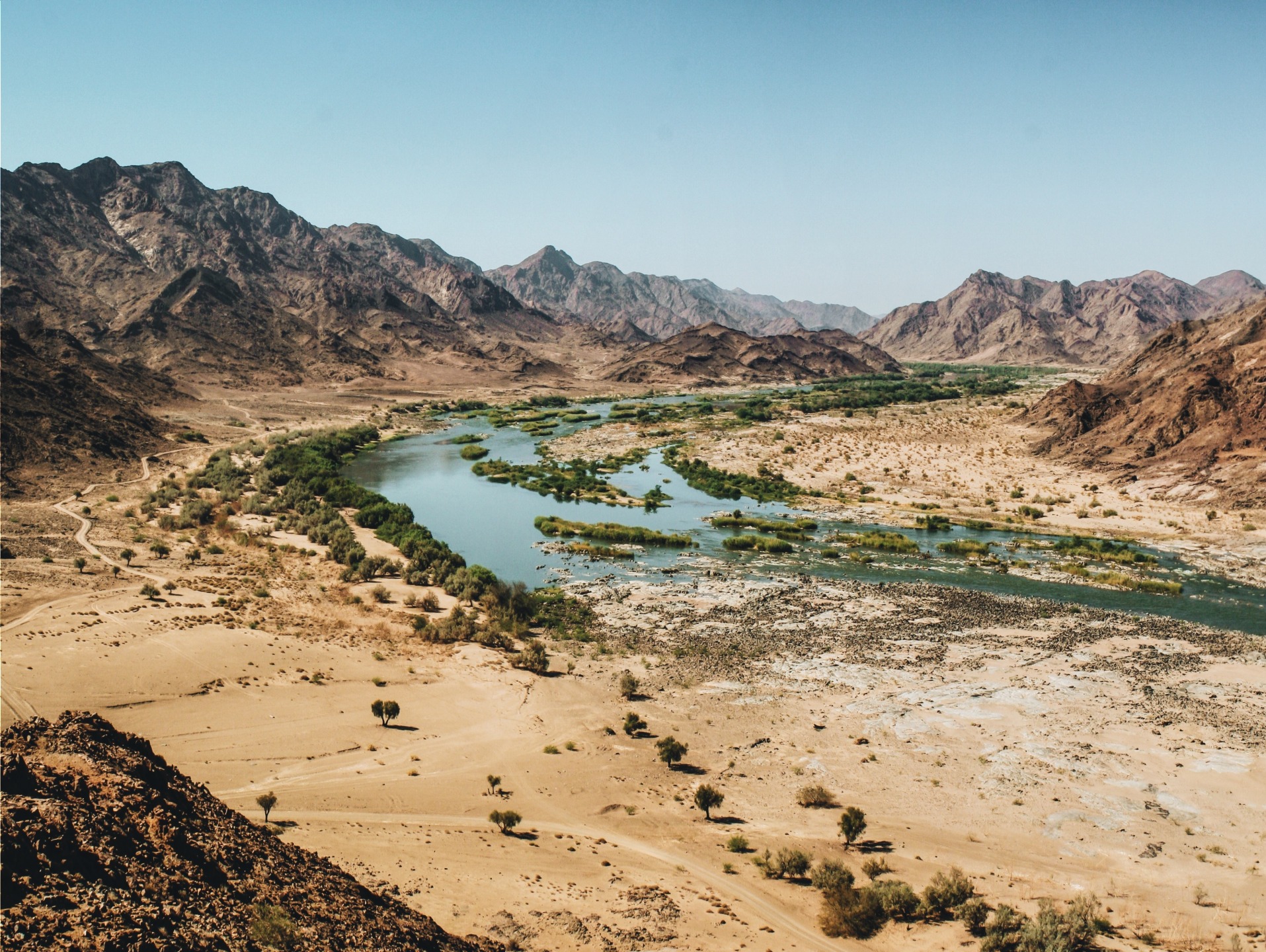
The Caprivi Strip is a narrow corridor stretching nearly 450 km from the northeast corner of Namibia. About 30 km wide, this salient shares its borders with Botswana to the south, Angola and Zambia to the north, and its eastern extremity nearly touches Zimbabwe. Administratively, it is divided between the Namibian regions of Kavango East and Zambezi. Its geographical singularity, inherited from a colonial compromise between Germany and the United Kingdom, makes it a region apart in the country: irrigated by several major rivers of southern Africa, it stands in stark contrast to the arid landscapes that characterize the rest of Namibia.
Why visit the Caprivi Strip
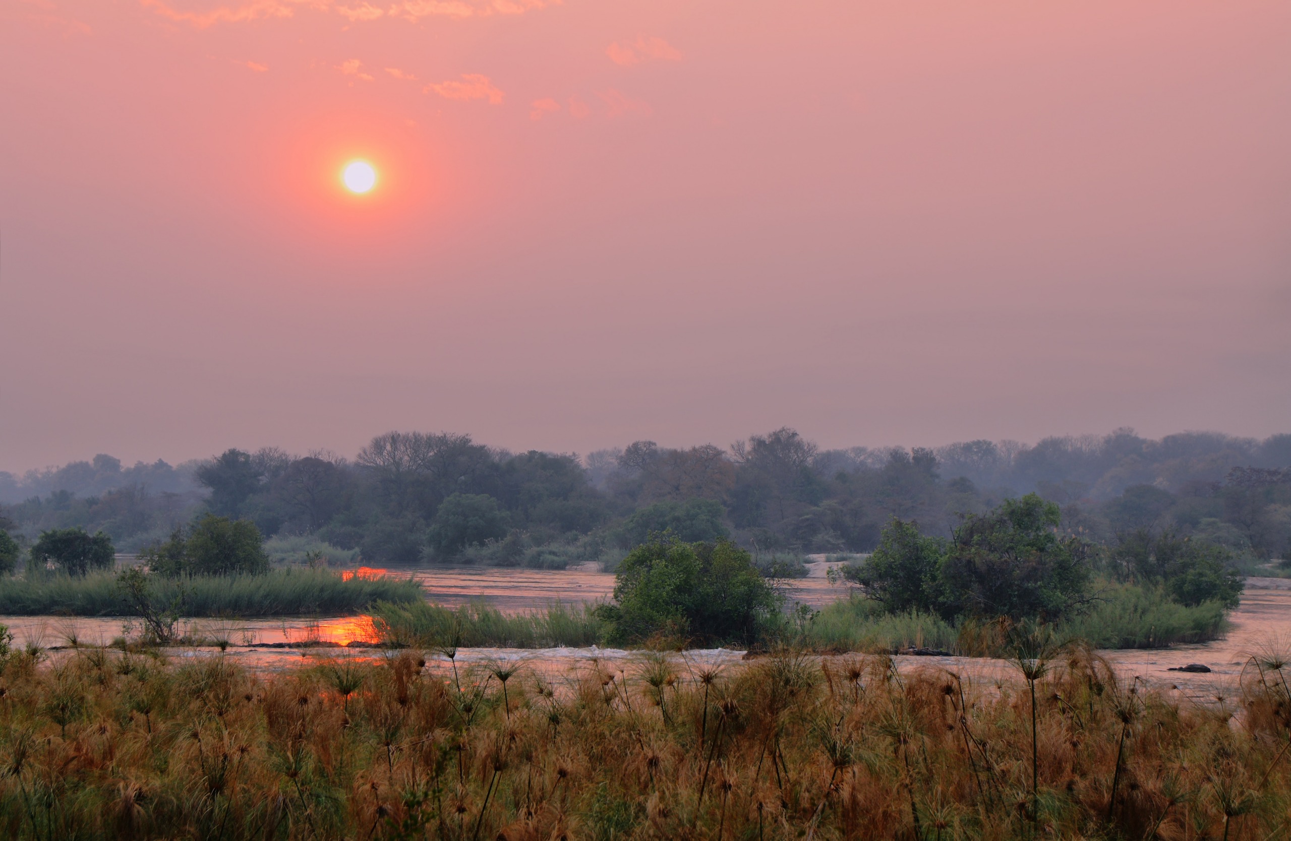
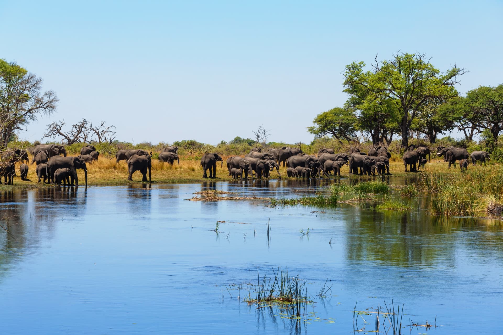
Unlike the dunes of Sossusvlei or the mineral expanses of Damaraland, the Caprivi Strip sets itself apart through its abundance of water. The Okavango, Kwando, Chobe and Zambezi traverse or border this territory, creating wetlands, floodplains and dense vegetation. This hydrological peculiarity, in a country regularly struck by drought, attracts abundant wildlife and remarkable birdlife. The region lends itself to river safaris, birdwatching and sport fishing, in a setting still little frequented by mass tourism.
A singular colonial history
The region's name pays tribute to German Chancellor Leo von Caprivi, who led the negotiation resulting in the territory's acquisition. The transfer was formalized by the Heligoland-Zanzibar Treaty of 1890: Germany renounced its claims to Zanzibar in exchange for the island of Heligoland in the North Sea and this strip of African land. For Berlin, the issue was strategic: to gain access to the Zambezi River from German South-West Africa, and thus, in theory, a navigable waterway to the continent's east coast.
In the 20th century, the territory followed Namibia's destiny under South African mandate. In 1976, the Pretoria administration established the East Caprivi bantustan, equipped with its own flag, coat of arms and anthem, as part of its policy of pseudo-independence. In 1980, the South African administration based in Windhoek reasserted direct control of the territory.
More recently, a dispute opposed Namibia to Botswana over the island of Kasikili, in the Chobe River channel. Each country claimed the island based on its interpretation of the border line inherited from 1890. In 1999, the International Court of Justice ruled: the border passes north of the island, which thus belongs to Botswana and is today part of the Chobe National Park.
What to see and do
Mahango Game Reserve
Located in the west of the strip, near Divundu, the Mahango Game Reserve is one of the most accessible wildlife sectors. You can observe elephants, hippopotamuses, leopards, cheetahs and lions, as well as a wide variety of antelopes attracted to the banks of the Okavango. The birdlife includes several emblematic species of southern African wetlands, among them the crowned crane (Bugeranus carunculatus), the pink-backed pelican (Pelecanus rufescens) and the African jacana (Microparra capensis).
River safaris and fishing
Lodges along the Okavango, Kwando and Zambezi typically offer boat trips to observe wildlife from the water. Fishing is another common activity: tilapia, catfish and especially tigerfish, prized for their combativeness, are among the sought-after catches.
Rivers and landscapes
Traversing the strip allows you to follow several major river courses. The Zambezi marks the northeastern border with Zambia, while the Chobe separates Namibia from Botswana before joining the Zambezi near Victoria Falls.
Practical information
A single main tarred road crosses the strip from Rundu in the west to Katima Mulilo in the east. It is generally in good condition but often shared with pedestrians and livestock: caution is advised, especially at dusk.
Three border posts structure regional movements:
- Wenela, near Katima Mulilo, for entering Zambia
- Mohembo, near Divundu, for entering Botswana
- Ngoma Bridge, another entry point to Botswana
French nationals generally benefit from visa exemption for Namibia for short stays, but conditions evolve: check with consular authorities before departure. For security, the region is calm, but the distance from medical centers and the presence of wildlife require rigorous planning (water, fuel, communication).
When to visit
The choice of season depends on the experience you seek:
- June to August (southern winter): cool temperatures, dry days, comfortable conditions for travel.
- September and October: the best period for game viewing, as animals flock to rivers as interior water sources dry up.
- Rainy season (southern summer): optimal conditions for birdwatching, with the arrival of migratory species and lush vegetation. Some tracks may be impassable.
How to get there
Access is primarily by road. From Windhoek, allow one to two days of driving via the B1 then the B8, which serves the entire corridor to Katima Mulilo. The strip can also be integrated into a cross-border itinerary connecting the Okavango Delta (Botswana), Victoria Falls (Zambia/Zimbabwe) or southern Angola. A few landing strips allow access by charter plane for travelers staying in the most remote lodges.
Nearby
The Caprivi Strip lends itself to extensions toward other emblematic regions of Namibia and southern Africa:
- The Chobe National Park, just to the south, famous for its elephant populations.
- The Damaraland, further west, for a striking contrast with arid landscapes.
- The Brandberg massif, Namibia's highest point and a rock art site.
Frequently asked questions
Frequently asked questions
Allow at least 2 to 3 days to travel the corridor from Rundu to Katima Mulilo while taking time to stop at a reserve or river lodge. A more thorough exploration, with safaris and boat excursions, warrants 4 to 6 days.
Yes, the main road is tarred and well-marked. A standard rental vehicle is sufficient to stay on the main axis; a 4x4 becomes necessary to venture into reserves like Mahango or Bwabwata.
The Caprivi is a malaria zone: preventive treatment and mosquito protection are recommended, particularly during the rainy season. Check that routine vaccinations are up to date before departure.
Yes. From Katima Mulilo, the Wenela border post allows you to reach Zambia, and Victoria Falls are accessible in a few hours of driving via Livingstone.
The Zambezi administrative region corresponds to the eastern part of the former Caprivi Strip. The "Caprivi" name remains widely used in geography and tourism, even though the official designation has evolved.
Plan your trip
The Caprivi Strip naturally integrates into an itinerary combining northern Namibia and neighboring countries. To build a tailor-made itinerary including this region, consult our suggestions for trips in Namibia.
Interested in this visit?
We can include it in your personalised itinerary.