Damaraland
A mineral-rich region in northwestern Namibia, Damaraland concentrates desert elephants, wild black rhinos and 8,000 years of San rock art on red sandstone slabs.
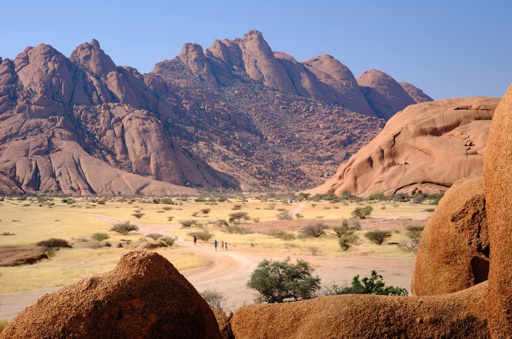
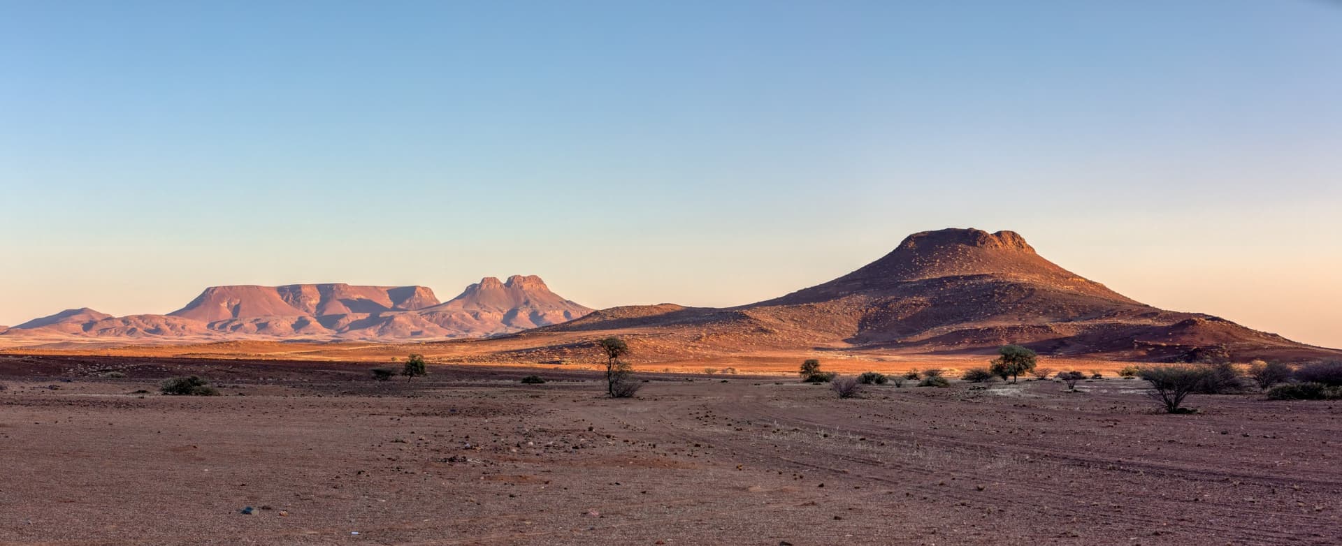
Damaraland stretches across nearly 45,000 km² in the northwest of the country, between the Skeleton Coast to the west and the central plateau to the east. Our team consistently presents it as Namibia's most mineral-rich region: masses of red granite, isolated inselbergs, scrubby mopane plains and ephemeral riverbeds—the Huab, Ugab, Hoanib and Hoarusib—that flow on the surface only for a few days each year after summer storms. The rest of the time, water circulates beneath the sand, sustaining linear vegetation along the wadis that serves as a wildlife corridor.
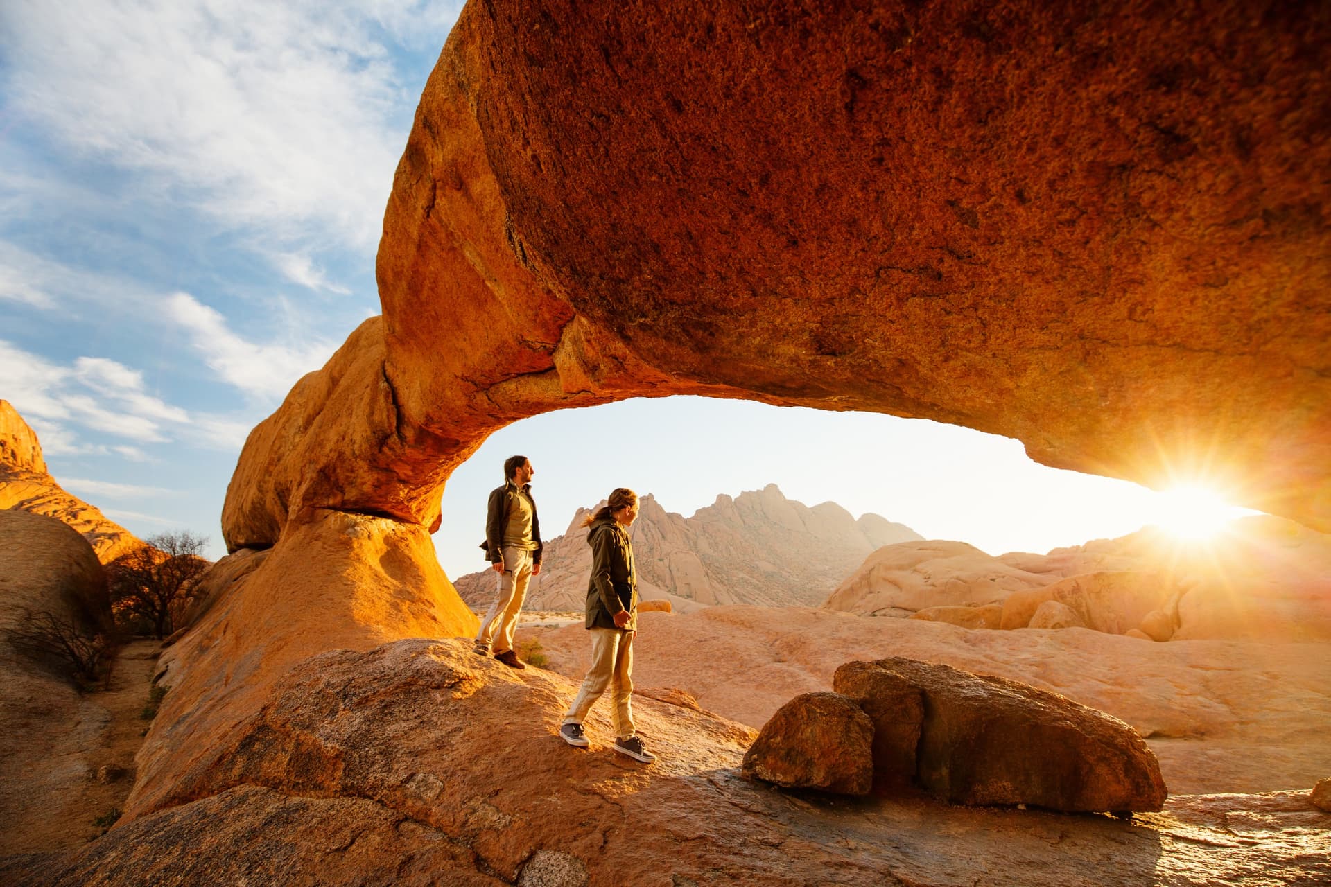
Administratively, Damaraland corresponds to the former homeland assigned to the Damaras during apartheid. Today, the zone is inhabited by Damaras around Khorixas, by Herero cattle-herding communities, and further north by semi-nomadic Himba families in the Kunene region. Tourism here is structured through conservancies, community-management areas created from 1998 onwards, which return safari and lodge revenues to villages. Torra, Doro Nawas and Palmwag are the best known: we work directly with guides from these villages. The geological appeal of Damaraland lies in the age and diversity of its formations. Brandberg, a granite dome peaking at 2,573 metres at Königstein, is the highest point in the country. Its walls shelter over 45,000 recorded rock paintings, including the White Lady in Tsisab Gorge, dated to around 2,000 years ago. A hundred kilometres to the north, the Twyfelfontein site, a UNESCO World Heritage site since 2007, concentrates over 2,000 engravings on red sandstone slabs, the work of San hunters across six millennia. All around, the Petrified Forest displays fossilized trunks 280 million years old, and the Basalt Columns line their hexagonal formations across 100 metres of cliff face.
On the wildlife side, Damaraland is one of the few places in the world where desert-adapted elephants still survive. They descend the beds of the Huab and Hoanib, capable of travelling 70 km between water sources and surviving three to four days without drinking. Black rhinos also roam here freely, unfenced: the Palmwag concession, managed by Save the Rhino Trust, harbours Africa's largest wild population. Add to this giraffes, oryx, Hartmann's mountain zebras, and more rarely the desert lions that roam toward Kaokoland.
Logistically, two villages serve as hubs. Khorixas, to the east, is an unremarkable administrative town but useful for supplies, three hours' drive from Twyfelfontein. Palmwag to the north is merely a road relay with a filling station at the entrance to its namesake concession, the departure point for rhino outings. The road network beyond the C39 is entirely gravel track, and distances deceive: allow four to five hours to reach the Skeleton Coast from Twyfelfontein, and the same to reach Etosha from the west.
Damaraland is not a place to visit in a rush. It's a contemplative region where animal density is low but where each encounter—an elephant herd 50 metres away in the Huab riverbed, a giraffe engraving on red stone, a rhino approached on foot with a Damara tracker—takes on an intensity particular to the starkness of the landscape.
To discover
Twyfelfontein rock engravings. Over 2,000 petroglyphs carved on red sandstone slabs by San hunters, some dating back 6,000 years. Guided tour of around 1.5 hours in the morning before 10 a.m. to avoid the heat of the stone.
Desert elephants in the Huab riverbed. Tracking by 4x4 from Doro Nawas or Twyfelfontein, typically four to six hours per outing. Herds move up the wadi according to water sources, with no guarantee of encounter but a success rate of around 70% in the dry season.
Black rhinos on foot at Palmwag. On-foot approach in the concession with Save the Rhino Trust trackers. Departure around 5 a.m., three to five hours' walk on rocky terrain. One of the last experiences of tracking black rhino in total freedom.
Brandberg and the White Lady. Three-hour round-trip hike through Tsisab Gorge to reach the fresco, accompanied by a mandatory Damara guide. Early start—the granite slab exceeds 50°C in the afternoon during summer.
Petrified Forest and Welwitschia. Fossilized trunks 280 million years old lined across the plateau near Khorixas, and populations of Welwitschia mirabilis, an endemic plant with two leaves that can live 1,500 years.
When to visit
The dry season, from May to October, is the window we consistently recommend for Damaraland. Daytime temperatures remain manageable—22 to 28°C in June-July—but nights drop to 5°C or even 0°C in riverbeds. Tracks are passable, vegetation is sparse which facilitates wildlife spotting, and animals concentrate around the few permanent water sources. September and October are best for elephants and rhinos, though temperatures climb to 35–38°C in the afternoon.
From December to March, the region receives summer storms, between 100 and 250 mm of rain depending on altitude, concentrated in a few violent downpours. Riverbeds can flood suddenly and cut off tracks for 24 to 48 hours. Daytime temperatures often exceed 40°C. The landscape turns briefly green, appealing to photographers, but wildlife disperses and elephants move away from lodges. November and April are transitional months, workable but unpredictable.
Practical advice
We recommend planning a minimum of three nights on-site to justify the distances, ideally four: one night around Twyfelfontein for engravings and the Petrified Forest, one to two nights in the Palmwag or Doro Nawas area for wildlife tracking, and possibly one night at the foot of Brandberg if you wish to hike to the White Lady. Access is by road from Windhoek (8 to 9 hours via Otjiwarongo), from Swakopmund (5 to 6 hours via the C35) or by charter flight to the airstrips at Doro Nawas and Palmwag for shorter itineraries.
Damaraland combines naturally with Etosha National Park to the northeast (four to five hours' drive), the Skeleton Coast to the west for travellers wanting to continue to Cape Cross seals and shipwrecks, and the Namib Desert to the south for a complete two-week circuit. Lodge comfort levels range from tent camps on rocky outcrops to upscale establishments like Mowani or Damaraland Camp. The region is particularly suited to contemplatives, geology and rock art enthusiasts, and travellers who value the quality of wildlife encounters over their frequency. With young children, it's better to limit consecutive track sections to three hours and choose a lodge with a pool.