Caprivi and Northeast
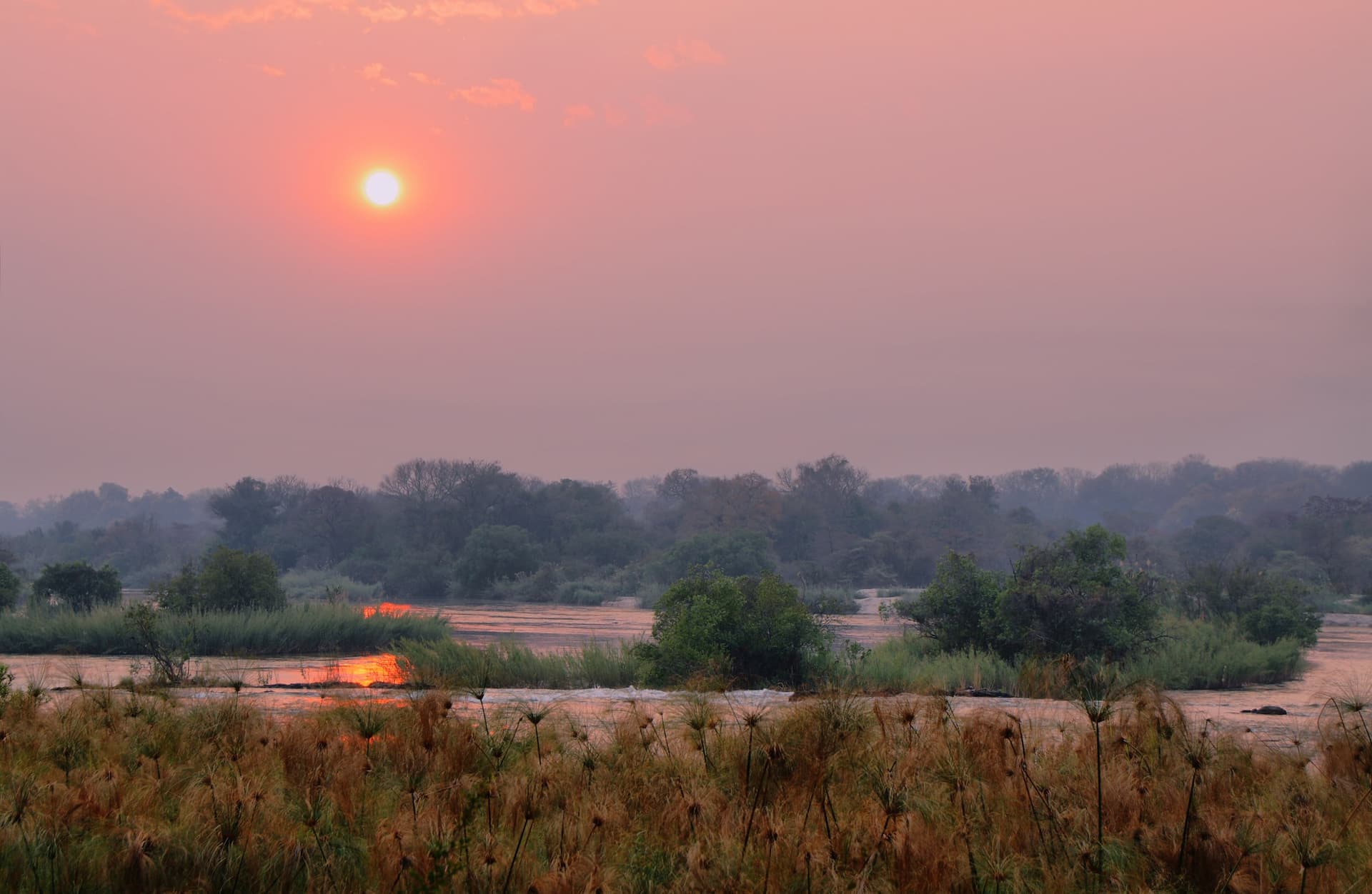
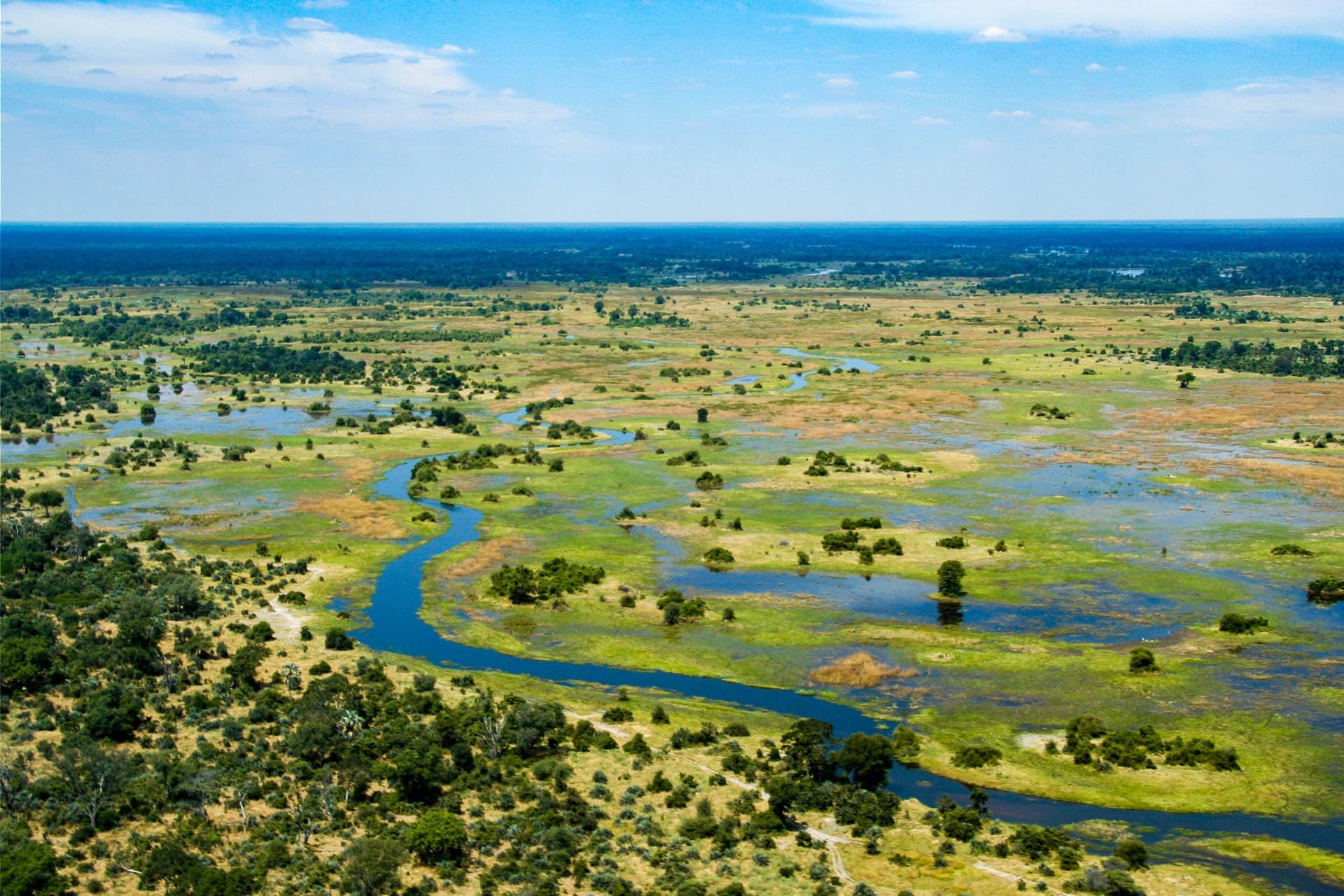
The Caprivi Strip, crossed by the Okavango, Kwando and Zambezi rivers, contrasts its lush forests and riverine parks with the rest of arid Namibia.
Caprivi, officially renamed Zambezi Region since 2013, forms this 450-kilometre tongue of land that extends Namibia eastward, between Angola to the north and Botswana to the south, until it touches Zambia and Zimbabwe at its eastern tip. This geography, inherited from the 1890 German colonial boundary, explains the striking contrast with the rest of the country: here, altitude drops below 1,000 metres, four perennial rivers traverse the region (Okavango, Kwando, Linyanti-Chobe, Zambezi), and annual rainfall reaches 600 to 700 mm compared to less than 100 mm in the Namib. The result: mopane and teak forests of the Zambezi, floodplains, papyrus, and a biodiversity that bears no resemblance to the desert landscapes most travellers associate with Namibia.
Katima Mulilo, on the banks of the Zambezi, is the regional capital and our logistical anchor point. This town of 30,000 inhabitants concentrates most services: markets, petrol stations, hospital, and the border with Zambia via the Sesheke Bridge. To the west, Divundu marks the entry into the region from the Okavango and provides access to Popa Falls, which are less waterfalls than tiered rapids over a 4-metre drop. Between these two poles lie villages such as Kongola, Sangwali and Lianshulu, where life remains governed by fishing, cattle herding and millet and maize cultivation.
The population of Caprivi also sets itself apart from the rest of Namibia. The Lozi, Mafwe, Subiya and Yeyi groups speak Bantu languages similar to those of Zambia and Angola, and their traditional structures, with chieftaincies and royal councils, remain vibrant. Kuomboka, a Lozi festival celebrated on the other side of the river in Zambia when the plains flood, culturally influences the Namibian shore. On the culinary side, you move away from Afrikaner braai to find grilled Zambezi bream, nshima (maize paste equivalent to Zimbabwean sadza) and delele leafy greens.
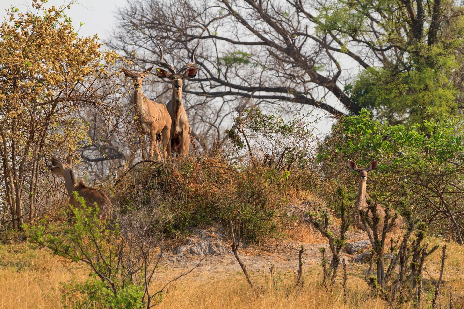
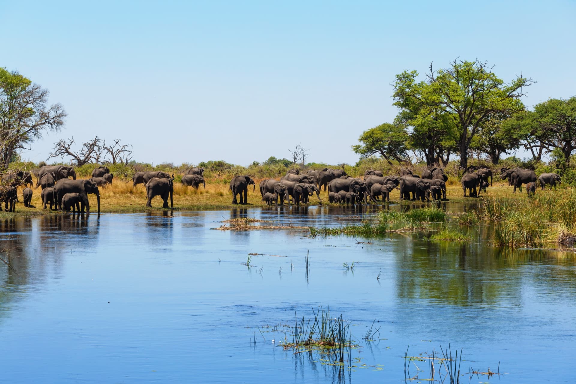
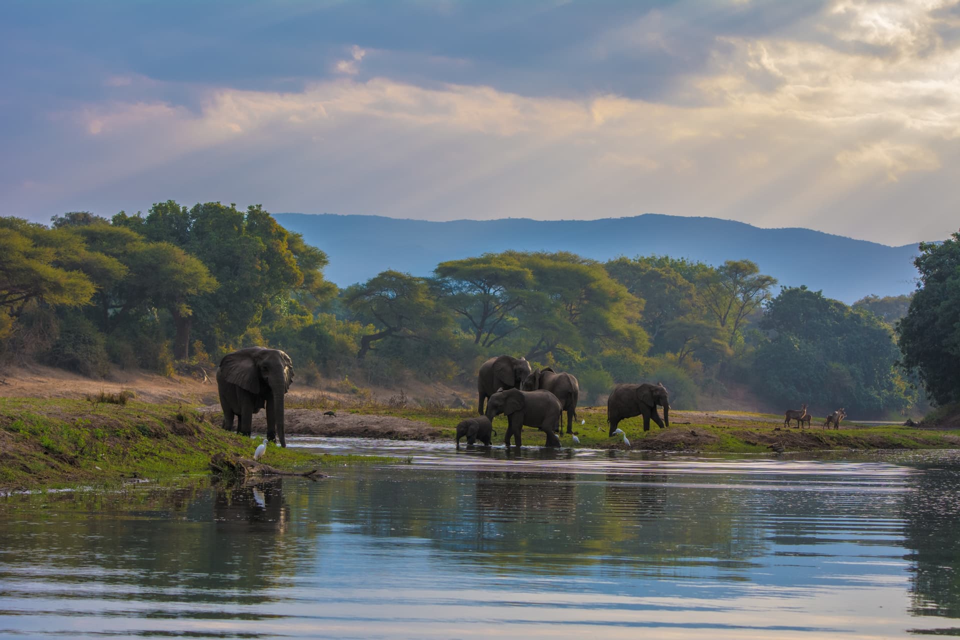
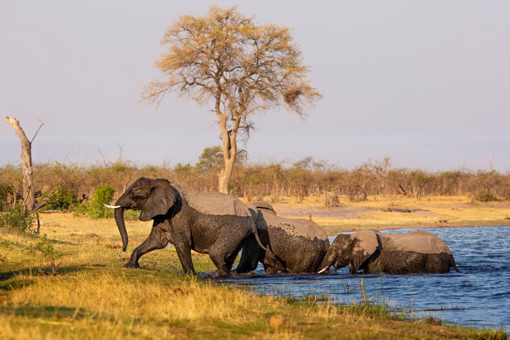
Three protected areas structure the region's natural interest. Bwabwata National Park, created in 2007 by merging Caprivi Game Park and Mahango, covers 6,270 km² between the Okavango and Kwando; it is an inhabited park, where communities live within its boundaries, making it a model of negotiated conservation. Mudumu, further to the southeast, is known for elephant passages from Botswana's Chobe, particularly dense between August and October. Nkasa Rupara, formerly Mamili, is the most humid: 80% of its surface is swampland, accessible only by raised 4x4 in the dry season. Ornithologists record African skimmer, jacana, and occasional shoe-billed stork among more than 450 species.
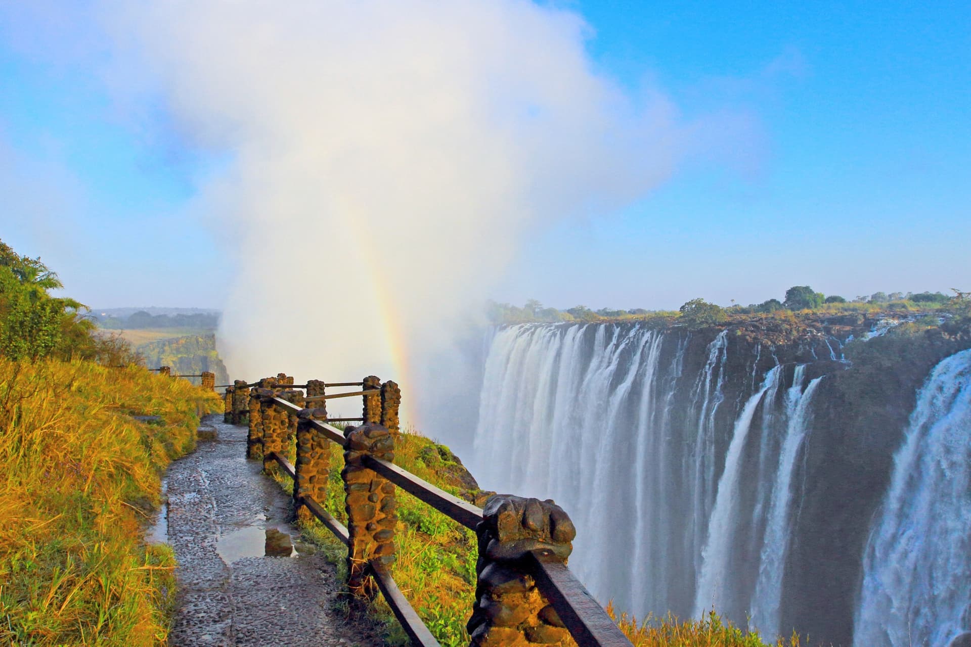
This region is also the natural gateway to Victoria Falls. From Katima Mulilo, it takes 200 km to reach Livingstone on the Zambian side (3 hours of driving plus border formalities), or approximately 6 hours to Victoria Falls Town on the Zimbabwean side via Kazungula and its new bridge opened in 2021. Proximity to Botswana's Chobe, 70 km from Katima via Ngoma Bridge, also opens up the option to combine with Kasane and cruises on the Chobe River, where dry-season elephant concentrations exceed 50,000 individuals across the park.
The local economy remains fragile: artisanal fishing, subsistence agriculture, community-based tourism through conservancies, these community management zones that cover a significant part of Caprivi. Our team works with several lodges established in these conservancies (Nambwa, Lianshulu, Camp Kwando), which return a share of revenues to communities and employ locals. In our view, this is one of the regions of Namibia where travel has the most direct economic sense for residents.
What to discover
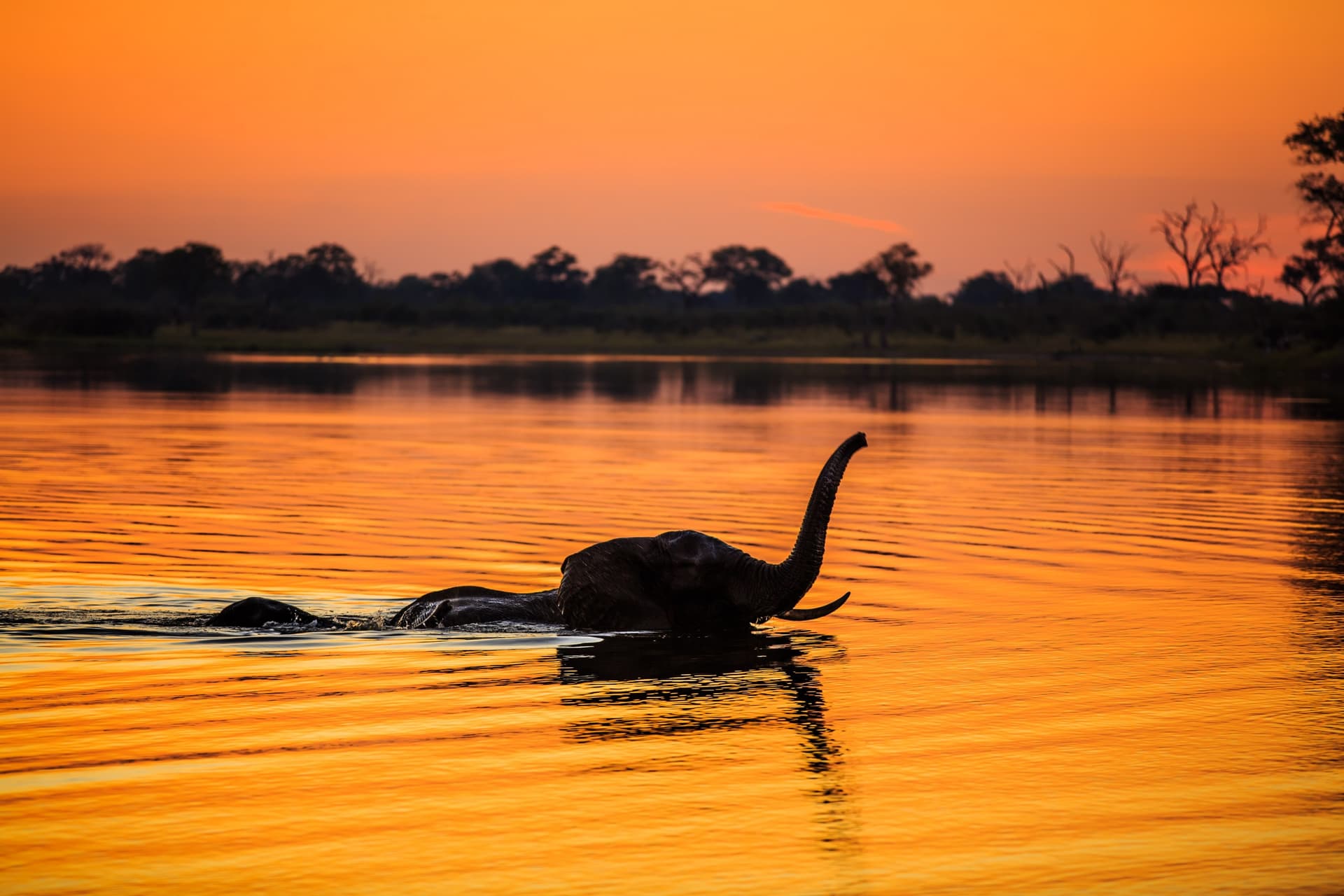
River safari on the Kwando from Nambwa. Early morning flat-bottomed boat trips, between August and October, when elephants cross the river in groups of 30 to 40 individuals to reach the floodplains on the Botswana side.
Popa Falls rapids. A succession of low cascades on the Okavango, near Divundu, where you can observe crocodiles and kingfishers from the wooden walkways of the park.
Birdwatching at Nkasa Rupara. The country's most humid park, accessible by 4x4 from April to November, with its 450 recorded species including the African skimmer and wattled crane.
Katima Mulilo market. Stalls of smoked Zambezi fish, Lozi basketwork in makalani palm roots, and chitenge fabrics imported from Zambia; a tangible glimpse of regional daily life, far from the classic tourist circuit.
Border crossing to Victoria Falls. Three hours by road from Katima to Livingstone via the Sesheke Bridge, or six hours to Victoria Falls Town via Kazungula: the logical endpoint for concluding a Namibian itinerary.
When to visit
Seasonality here is more marked and constraining than elsewhere in Namibia. The rainy season runs from December to March, with totals that can exceed 150 mm in January and February: certain secondary tracks in Bwabwata and Nkasa Rupara become impassable, and temperatures climb to 35°C with 80% humidity. This is the least ideal time to visit, except for ornithologists who find migratory species and young birds.
Our recommended window runs from May to October. June to August offer the coolest nights (10 to 15°C at night, 25 to 28°C during the day) and maximum wildlife concentration around water points, with the bush clearing as the dry season progresses. September and October are the hottest months before the rains, up to 38°C in the afternoon, but also the most spectacular for elephant crossings on the Kwando and Chobe. April and November are viable shoulder seasons, with fewer visitors and still-green vegetation.
Practical advice
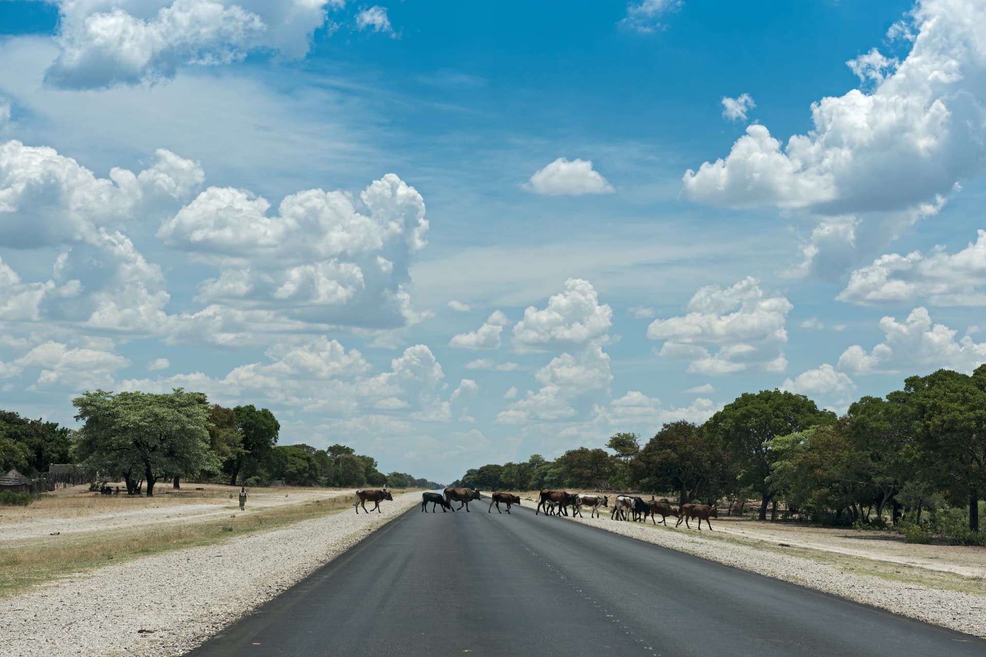
We recommend a minimum of 4 days on-site to justify the distance, ideally 5 to 7 days if you want to explore multiple parks and make the round trip to Victoria Falls. The region is reached by road from Rundu (200 km of tarmac to Divundu, allow 2h30) or by domestic flight to Katima Mulilo from Windhoek (1h45). The main road, the B8, is tarmacked along the entire length of Caprivi; secondary tracks providing access to lodges and parks require a 4x4.
The most coherent combination, over an 18 to 21-day trip, links Caprivi to Etosha (700 km, 2 days of driving with a stop in Rundu) then to Damaraland and the coast. For travellers with three weeks, the natural extension goes to Botswana (Chobe, Okavango) via Ngoma Bridge, or to Victoria Falls. The comfort level of the lodges is good to very good, but notably more rustic than that of Botswana's neighbouring high-end camps, at significantly lower prices. This region suits nature-focused travellers, experienced ornithologists and those seeking a sharp contrast with desert landscapes. It is less suitable for families with very young children due to heat, humidity and malaria presence (prophylaxis necessary year-round).